Utilities
AG3 understands the need for experienced, quick-response surveying teams. We have brought together a team consisting of Registered Professional Land Surveyors (RPLS), LiDAR Technicians, Pilot Certified UAV (Drone) personnel, GIS specialists, survey crews and survey technicians. Our team of surveyors have the experience and capabilities to provide thorough, accurate, and precise surveying services.
Additional experience for AG3 includes performing Right of Way services for TxDOT. Our firm has a had Prime On-Call TxDOT contract for 3 years in El Paso and San Antonio. We have also been selected as a subconsultant for other firms on TxDOT, City of San Antonio, San Antonio Water System, and Bexar County contracts for the last 10 years to provide similar services and are adapt at ROW problem solving, such as Right of Entry, monumentation and boundary resolution. We also perform numerous utility survey tasks (e.g. site, ROW, sub surface utility scanning, above ground structures, etc.) for various public clients under past and current contracts.

Close Range Aerial Photogrammetry
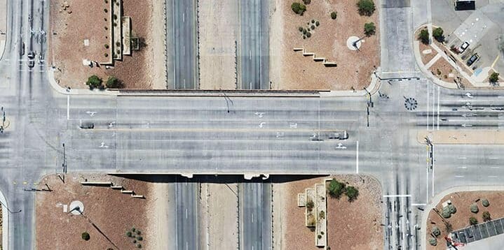
TxDOT Artcraft Bridge crossing IH-10, El Paso, TX
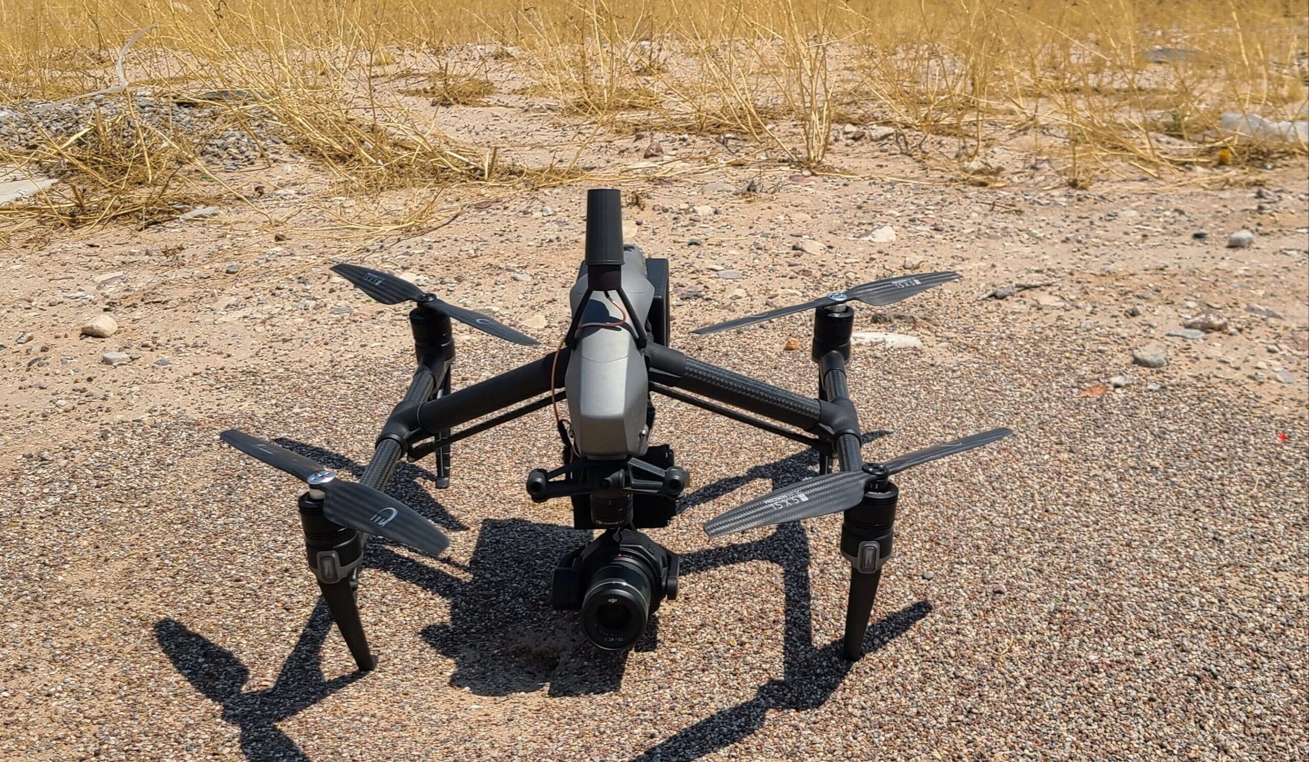
AG3 Drones have the ability to deliver high accuracy 2D Ortho Photos as well as 3SM files for Reality Meshes. The video editing staff can record 4K video for inspection of towers and wires as well.

Drone image.

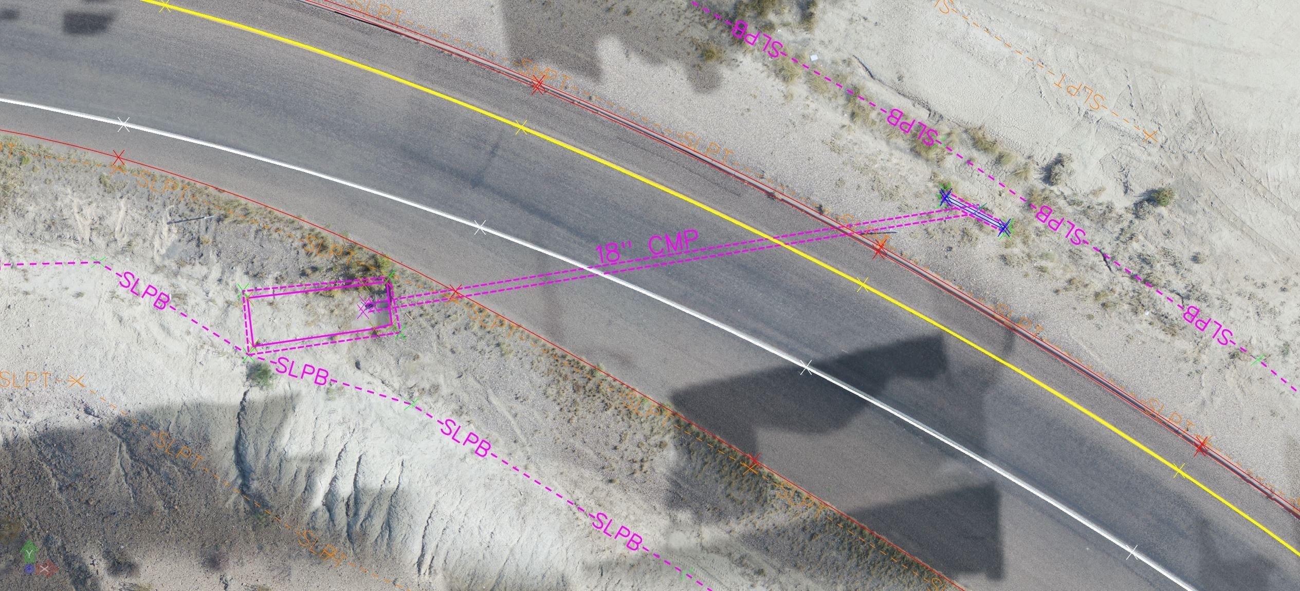
Drone image showing replacement erosion.
AG3 Survey and LiDAR Services Include:
• Global Positioning System (GPS) Surveys
• LiDAR Surveys
• UAV (Drones)
• Geographic Information system (GIS) analysis
• Boundary Survey
• Utility Survey
• Topographic Survey
• Tree Surveys
• Utility routes
• Easement and Right-of-Way Surveys
• Field data for design
• Construction layout
• As-built Surveys
• Mass quantity volumetrics
• Construction Staking
• Land Title Surveys (ALTA/ACSM and TSPS Cat. 1A)
