Surveying

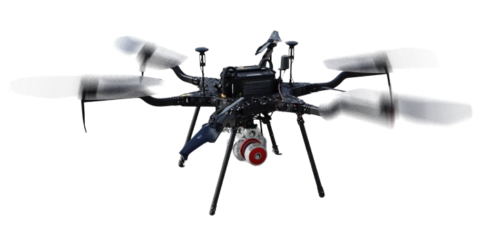
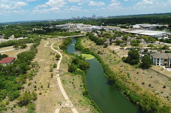
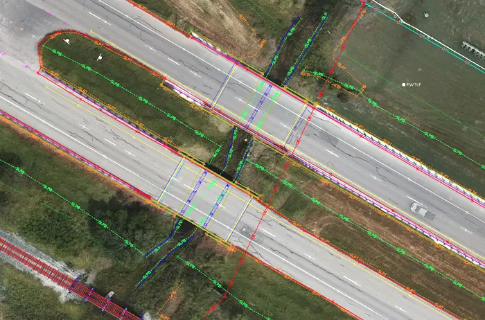
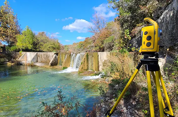
AG3 understands the need for experienced, quick-response survey teams. 

We have brought together a team consisting of Registered Professional Land Surveyors (RPLS), Lidar Technicians, Pilot Certified UAV (Drone) personnel, GIS specialists, survey crews and survey technicians. Our team of surveyors have the experience and capabilities to provide thorough, accurate, and precise survey services.

Our firm currently has Prime Survey TxDOT contracts with the Austin, El Paso and San Antonio Districts. AG3 has also been selected as a subconsultant with other firms on various state, county, city, and municipality projects.

OUR GIS AND GEOSPATIAL SERVICES INCLUDE:

  • Geographic Information System (GIS) analysis
  • As-built Surveys including underground assets
  • Large Scale GIS database
  • Lidar Surveys
  • UAV (Drones)/Photogrammetry
  • Transmission Lines
  • Bathymetric

OUR SURVEY DIVISION SERVICES INCLUDE:

  • Global Positioning System (GPS) Survey
  • Boundary Survey
  • Utility Survey
  • Topographic Survey
  • Tree Survey
  • Right-of-Way & Easement Survey
  • Civil Design
  • Design & Construction Survey
  • Construction Staking & Layout
  • Land Title Surveys (ALTA/ACSM & TSPS Category 1A)
SURVEYING FEATURED PROJECTS: